🌊 Geography
The Burhi Gandak river, flood plains, and the village landscape.
Latest Entry
Diara Farming in Bandwar: Agriculture on the Edge of the Burhi Gandak
Diara lands are the fertile floodplains along the [[burhi-gandak-river-bandwar|Burhi Gandak]] river. In Bandwar, these lands are the backbone of the village's agricultural economy, producing wheat, maize, and pulses. However, farming here is a high-stakes gamble against the monsoon floods, requiring diesel-powered pumps and Kisan Credit Cards to survive.
Previously Recorded
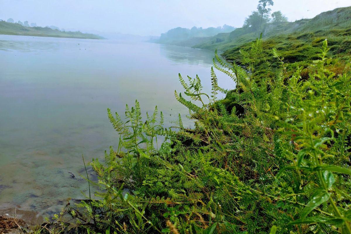
The Bandh: Bandwar's Historic Flood Protection Embankment
The bandh is the embankment built along the Burhi Gandak to protect Bandwar from floods. It is widely believed that the village takes its name from this very structure — 'Bandh' becoming 'Bandwar'. It runs parallel to the [[burhi-gandak-river-bandwar|Burhi Gandak]] along the western edge of the village, and is the single most important piece of infrastructure in Bandwar.
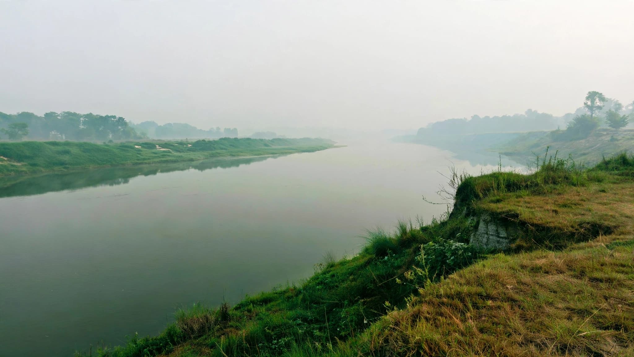
Burhi Gandak River: Bandwar's Lifeline and Adversary
The Burhi Gandak is a flood-prone river that flows along the western edge of Bandwar, in Begusarai district, Bihar. Situated in the fertile Indo-Gangetic plain, it is the largest tributary of the Ganga in the region. Its annual floods shaped the village's geography, its agriculture, and — most importantly — its name. The embankment built along the river, the [[bandh-embankment-bandwar|bandh]], is widely believed to be the source of the village's name: Bandwar.